
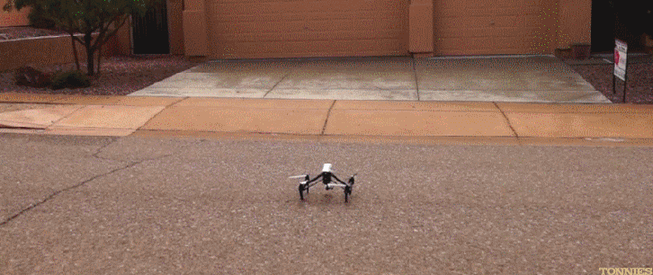
It’s not completely rare that anyone has had a drone hit them in the head or crash on or into their property. However, what we are hearing more of on local news media are somewhat more dangerous events such as drones coming uncomfortably close to commercial and private aircraft. Not too cool one may think.
Apparently, this has been on the minds of some industry leaders who have now decided to do something about our increasingly congested airspace. PrecisionHawk, Verizon, Harris, and DigitalGlobe are partnering up on a solution.
The trio has successfully integrated their respective technologies - Verizon's LTE network, Harris' ADS-B and aircraft surveillance network, DigitalGlobe's Geospatial Big Data Platform, and PrecisionHawk’s - into what they have dubbed the Low Altitude Traffic and Airspace Safety (LATAS) platform. Intended to serve as a pathway for safe drone integration, assessment of the LATAS ecosystem is taking place through the FAA Pathfinder program and the NASA UTM project.
Operating over LTE and through satellites, the LATAS platform connects airspace safety technologies such as detect and avoid, dynamic geofencing and aircraft tracking to provide safety as a service for drones. As a reliable cellular network provider, Verizon brings secure and reliable connectivity to LATAS users. Employing the existing infrastructure of Verizon cell towers, LATAS is scalable for drones operating throughout the US.
Providing commercial high-resolution earth observation and advanced geospatial solutions globally, DigitalGlobe provides geospatial content and analytic capabilities for the identification of terrain and ground obstacles. PrecisionHawk's LATAS system will tap into DigitalGlobe's Geospatial Big Data (GBD) Platform so that drones can actively identify and avoid obstructions such as buildings, cables, or trees based on current information about the world around them.
Nationwide Automatic Dependent Surveillance-Broadcast (ADS-B) ground station deployment by Harris serves as the cornerstone of the FAA's NextGen surveillance initiative to improve the quality, accuracy and reliability of flight tracking data throughout the entire National Airspace System (NAS).
The LATAS platform provides ‘safety as a service’ to support the growing number of consumer and enterprise drones in the airspace. LATAS is designed to work everywhere; connecting your drone over the cellular network and through satellites with ...
Hopefully the LATAS system will be viable and in place for a long time to come. Or at least as long as it takes before the skies start to look like US highways at 5 PM … or any other time for that matter. For more information, visit:
Watch a video at: https://youtu.be/icb6t6CRwHQ

~MD